Imagen principal
Distancia
39.23
Desnivel positivo
261.00
Desnivel negativo
261.00
Altitud máxima
524.00
Altitud mínima
370.00
Galería de imágenes
Archivo KML
sesa-circular-por-hoya-y-monegros.kml (157.87 KB)
Ubicacion donde empieza la ruta
41.996754, -0.245292
Horas de recorrido
2
Minutos de recorrido
36
Tipo de ruta
Tipo de circuito
Dificultad técnica
Descripción corta
Scenic route through the cliffs and historic villages of the Hoya de Huesca region
Descripción larga
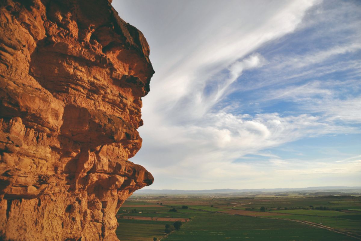
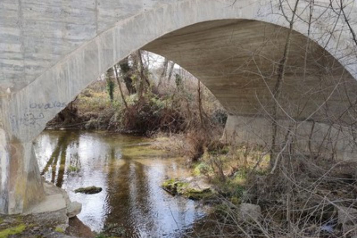
This route explores some of the most distinctive landscapes of the Hoya de Huesca region, combining nature, geology and rural heritage through the villages of Piracés, Sesa and Salillas. The itinerary crosses impressive cliffs and gypsum formations characteristic of the area, shaped by wind and water over thousands of years.
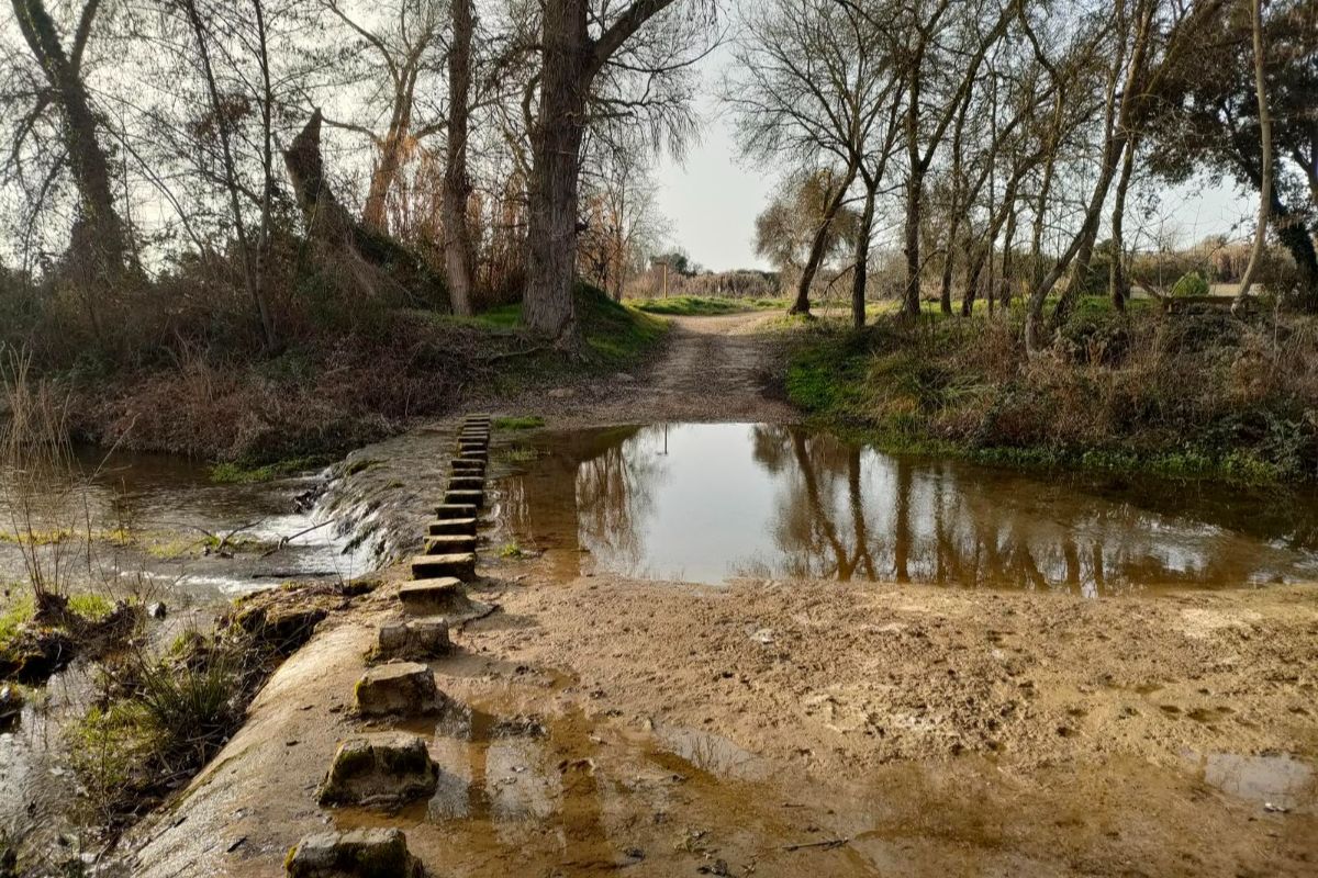
Along the way, visitors can discover charming traditional villages, peaceful streets and outstanding examples of Aragonese rural architecture. Natural viewpoints and the semi-desert landscape make this experience a unique opportunity to explore a lesser-known environment of great scenic and cultural value.
The route is ideal for those wishing to enjoy tranquillity, nature photography and the discovery of Huesca’s rural heritage.
Enlace
https://es.wikiloc.com/rutas-ciclismo/sesa-circular-por-hoya-y-monegros-27785870
Destacado
Desactivado